
Sacred Cartographies: Rome, 1575–1616
DOI:
https://doi.org/10.6092/issn.2036-1602/13927Keywords:
Rome, Counter-reformation, Religious orders, Cartography, JesuitsAbstract
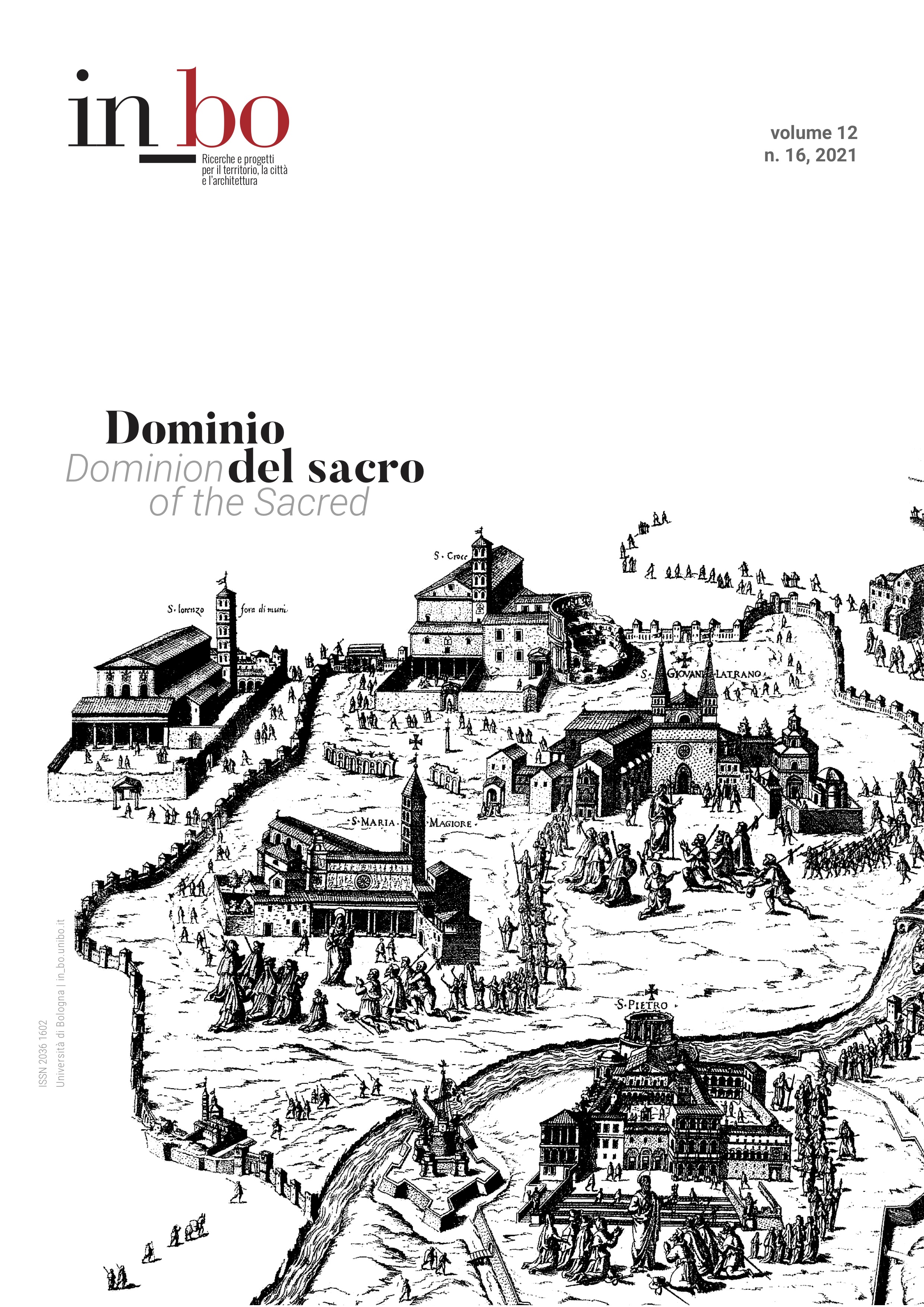
During the second half of the 16th century Roman cartographic production intensified - and became more specialised across a wide range of products - in relation to the specific situation of the city in the dramatic European context of political-doctrinal clashes. Alongside specific curial commissions – though never directly papal – this essay outlines the role of the policies of the new religious Orders. As they consolidate and expand, they define, while often in competition with each other, the topographies of the sacred of the universal centre of Catholicism. In an often very elaborate policy of promoting printed images, Oratorians, Piarists, Camaldolesians and Jesuits promoted the production and publication of printed cartographic images that were widely disseminated along the new paths of Catholic expansionism during the late 16th and early 17th centuries.
Downloads
Published
How to Cite
Issue
Section
License
Copyright (c) 2021 Mario Bevilacqua

This work is licensed under a Creative Commons Attribution-NonCommercial 3.0 Unported License.

