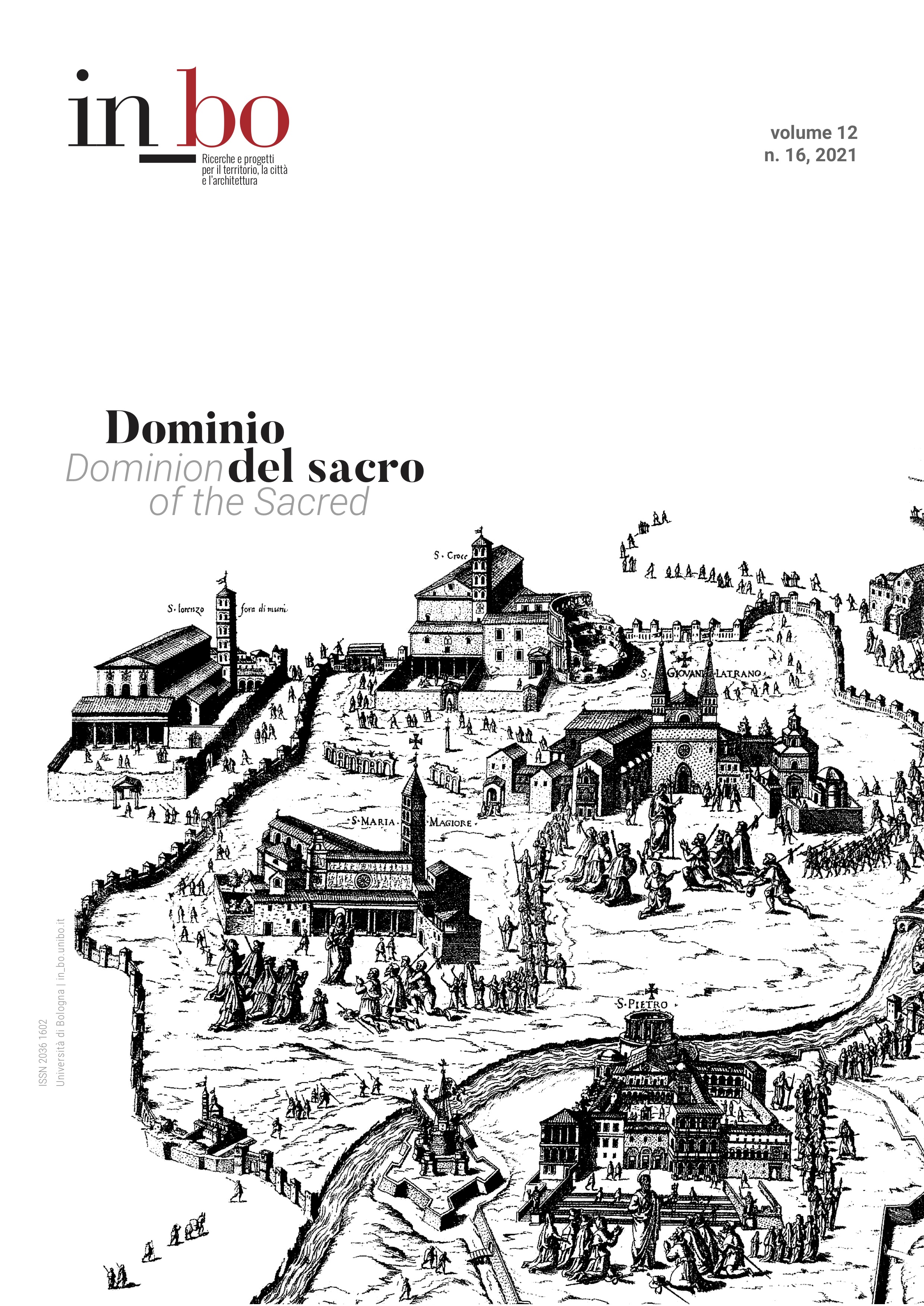
Ecclesiastical and Civil Authority in the Iconography of Venice’s Archipelago Between the Sixteenth and Seventeenth centuries
DOI:
https://doi.org/10.6092/issn.2036-1602/13130Keywords:
Lagoon of Venice, Islands, Historical cartography, Urban representation, Secular and ecclesiastical jurisdictionAbstract
In the historiography of Venice little attention has so far been given to the representation of lagoon settlements, which for centuries were of signal importance within the political, socio-economic, and cultural layouts of the Republic. Since the late Middle Ages, these spaces had housed a rich cluster of religious institutions; then, reforms and post-Tridentine tensions led to serious conflicts around issues of ecclesiastical and secular jurisdiction over land and water possessions. Between the sixteenth and seventeenth centuries, government authorities built numerous utilities and collective infrastructures inside the lagoon cloisters – such as boathouses, guest houses, gunpowder magazines, and hospitals – thus increasingly expanding state control over the life of the religious communities. These building projects gave rise to a significant corpus of maps, surveys, and land measurements, which today allow scholars to assess not only the quantity but also the different degrees of the Republic’s interventions, which ranged from simple maintenance projects to the complete reorganization of certain islands. Though highly technical, these sources represent a fundamental vehicle and model of knowledge for interpreting the Venetian basin. The realities they suggest are very different from what is conveyed by official cartography, shaped as it is by the need for laudes civitatum. By looking at this corpus we may better understand the value of the lagoon settlements as constitutive and connective elements of the urban fabric.
Downloads
Published
How to Cite
Issue
Section
License
Copyright (c) 2021 Ludovica Galeazzo

This work is licensed under a Creative Commons Attribution-NonCommercial 3.0 Unported License.


