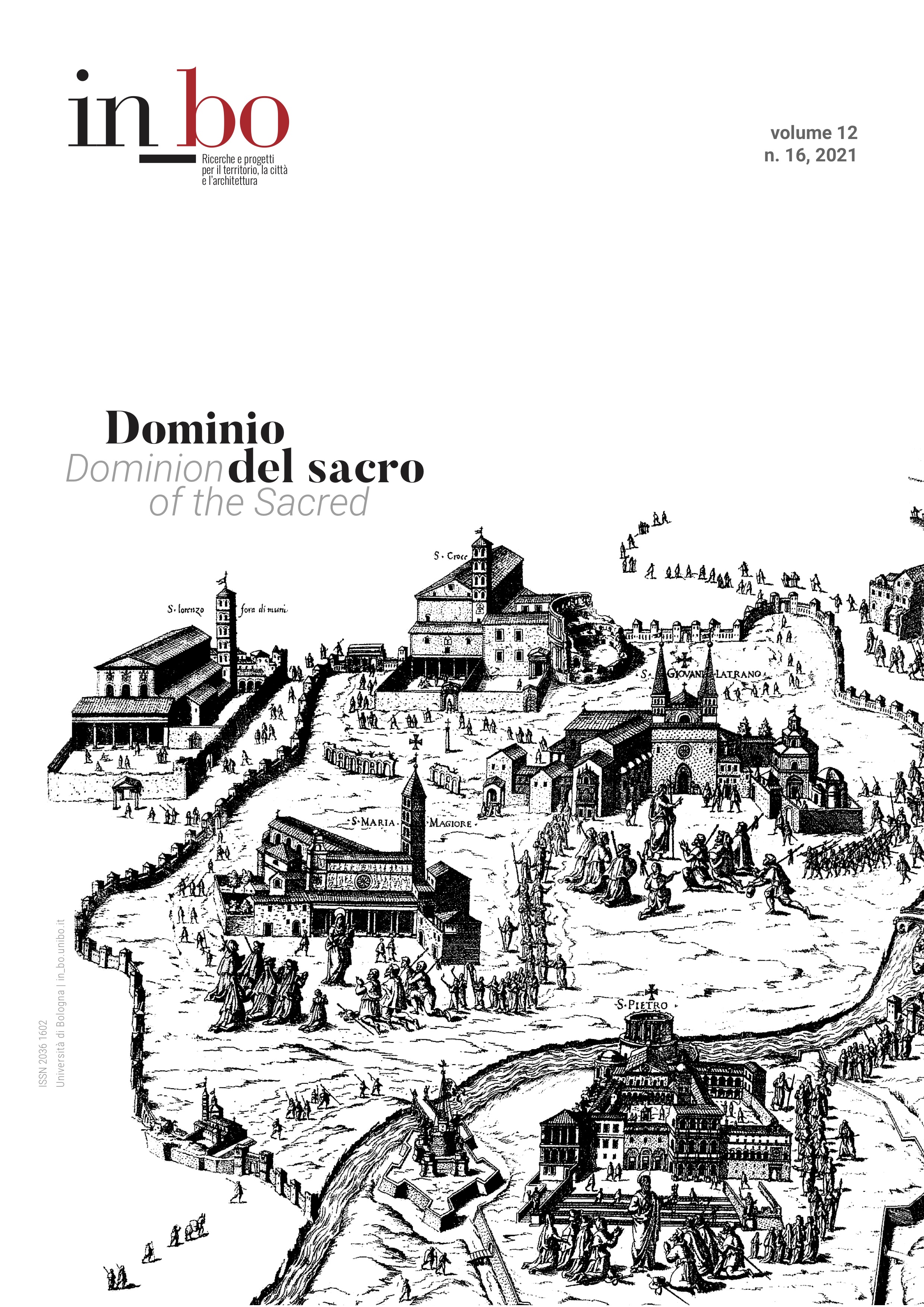
Roma Ignaziana: The Jesuits’ Strategic Adaptation of Christian Rome in Cartographic Form
DOI:
https://doi.org/10.6092/issn.2036-1602/12836Keywords:
Roma Ignaziana, Jesuits, Rome, cartography, city-portraitAbstract
The 1609 beatification of Ignatius of Loyola, founder of the Society of Jesus, prompted the publication of the Vita Beati Patris Ignatii Loyolae, printed by the Galle workshop in Antwerp (1610), which uniquely incorporates a birds-eye view of Rome. Titled Roma Ignaziana, the map features the facades of Jesuit houses, colleges, and churches rising up through the existing urban fabric, dwarfing recognizable structures, such as the Colosseum and Pantheon. It highlights the Society’s transformation of the city of Rome, especially in the central area near the Capitoline Hill, following its 1540 foundation. The largest buildings are the Chiesa del Gesù, mother church of the Society, and the their school, the Collegio Romano. In their first years, the Jesuits focused their attention on this neighborhood, establishing social service organizations here. Situating their headquarters in the heart of the urban center allowed the Jesuits to serve those who needed them most, and to this day the Society of Jesus remains a religious order strongly associated with cities. Yet, Roma Ignaziana is not a completely original design. The dominant Jesuit structures are laid on an earlier map of the city, an engraving from Braun and Hogenberg's Civitates Orbis Terrarum (Cologne, 1572), itself adapted from Ugo Pinard’s 1555 map of Rome. The Jesuit reworking of this map is but one aspect of their ongoing, strategic adaptation of extant images, here allowing them to weave themselves into the existing fabric of Christian Rome. This study investigates the very literal placement of the principal Jesuit buildings into a representation of Rome, revealing a portrait of how the Society saw themselves as an integral aspect of the reforms underway in post-Tridentine Rome.
Downloads
Published
How to Cite
Issue
Section
License
Copyright (c) 2021 Alison Fleming

This work is licensed under a Creative Commons Attribution-NonCommercial 3.0 Unported License.


